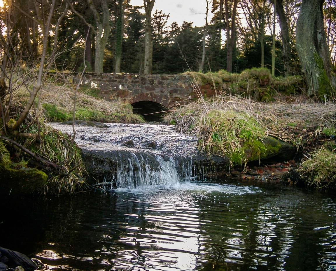
Heather path along the Bute coastline
Things to do / Walking

Walking Bute — moor, shore, and seven counties from one hill.

Bute is fifteen miles long and never more than five wide, which makes it one of the most rewarding walking islands in Scotland: you can cross from the Firth of Clyde to the Sound of Bute in an afternoon, and no route is ever far from a bus stop, a bay or a pot of tea. This is how to plan it, from the full West Island Way to short circuits you can fit around a ferry timetable.

01

The West Island Way, end to end

Opened in 2000 as Scotland's first waymarked long-distance route on an island, the West Island Way runs roughly 30 miles (about 48km) from Kilchattan Bay in the south to Port Bannatyne in the north. It stitches together shore path, farm track, forestry road, open moor and quiet lane, and it is signed throughout with the route's thistle-and-wave waymarkers.

Most walkers take two days, staying overnight in Rothesay at the halfway point; strong walkers do it in one long summer day. Because the island is small and served by buses, it also works beautifully as three or four half-day sections — walk a stretch, catch the bus back, and repeat.

Walk it south to north if you want the drama first: the southern section opens with the Kilchattan Bay cliffs and the ruins of St Blane's, arguably the finest miles on the island.

Distance
About 30 miles / 48km
Time
1 long day or 2 comfortable days
Start
Kilchattan Bay
Finish
Port Bannatyne
Terrain
Shore, moor, forestry, lanes
Waymarked
Yes, throughout
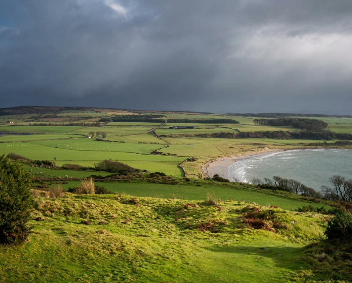
Bay with pale sand on the south of Bute
02

Kilchattan Bay and St Blane's circuit

If you only have one walk, make it this one. A circuit of roughly 5 miles from the village of Kilchattan Bay takes you along a raised beach and low cliffs to Glencallum Bay, past the Hawk's Nib and the site of an old lighthouse, and then inland to St Blane's — a 6th-century monastic site with a ruined 12th-century chapel inside a walled enclosure, set among hawthorn on a south-facing terrace.

It is a stony, occasionally rough path with some short climbs, and it takes most people two and a half to three hours. On a clear day Arran fills the western horizon and you can see across to the Cumbraes and Ayrshire in the other direction.

Distance
About 5 miles / 8km
Time
2.5 – 3 hours
Difficulty
Moderate, rough in places
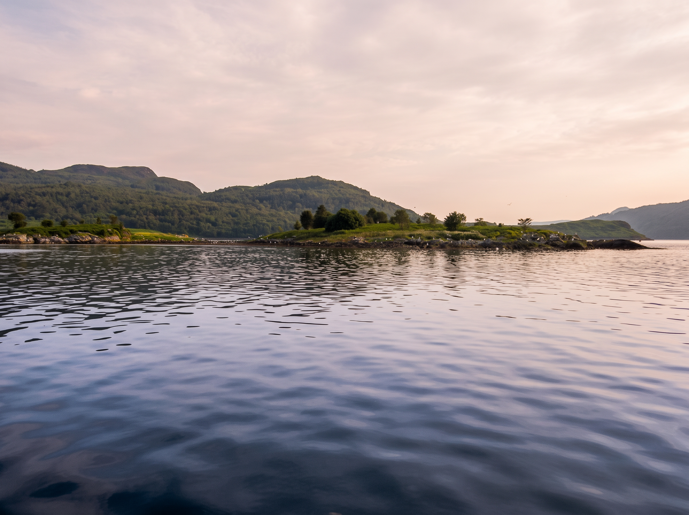
Wildlife off the coast of Bute
03

Scalpsie Bay and the seal viewpoint

The largest colony of common seals on the island hauls out on the rocks at Scalpsie Bay on the west coast, and there is a signed viewpoint and short path down from the road with an interpretation board. It is a gentle 20-minute walk to the sand, or a longer hour-and-a-half loop if you add the climb to the Tarmore Hill viewpoint above it for the view across to Arran.

Bring binoculars. Along this coast you may also see gannets diving, buzzards over the farmland, and — with luck and patience in summer — porpoises or dolphins working the tide line.

04

Canada Hill and the Rothesay walks

You do not need a car to walk well on Bute. From Rothesay pier you can climb through Skeoch Wood and the golf course to Canada Hill in under an hour — the hill said to be where island families watched emigrant ships carry relatives to Canada, and still the best all-round viewpoint over the town, the bay and the hills of Cowal.

Closer in, the Skipper Woods and the Loch Fad shore give easy, mostly level walking, and the Esplanade north towards Port Bannatyne is a flat two-mile stroll with the whole Firth of Clyde on your right.

05

Glecknabae, Ettrick Bay and the north

The north-west of the island is its quietest quarter. From Ettrick Bay a lane and track lead up the coast towards Glecknabae, passing Neolithic chambered cairns and the ruined medieval chapel of St Michael's, with the Kyles of Bute narrowing ahead of you. It is a there-and-back of anything from 4 to 8 miles depending on how far north you push.

This is also where the West Island Way's northern half runs, so it is easy to combine with a section of the main route and a bus home from Ettrick Bay or Port Bannatyne.

06

Practical advice before you set off

Take waterproofs whatever the forecast says — Bute's weather turns quickly, even though the Gulf Stream keeps it milder than most of Scotland. Boots rather than trainers for the moor and shore sections, which stay wet long after rain.

Much of the route crosses working farmland, so keep dogs under close control, especially during lambing in spring and around livestock. Scotland's statutory right of responsible access applies, and the Scottish Outdoor Access Code is the guide to what that means in practice.

Check the island bus timetable before you plan a linear walk, and note that services are thinner on Sundays and in winter. Carry water: there is very little on the moor sections.

Scottish Outdoor Access Code